
Search Saginaw Addresses
Address research in Saginaw begins with a parcel, then adds evidence in layers. The Saginaw Area GIS Authority FetchGIS search can locate a current property record by street, owner, municipality, or parcel identification number. Its property card is a useful starting point, but it is not a title opinion, a legal survey, or an occupant list. The Register of Deeds controls the recorded instrument, while voter and directory material can describe a separate point in time. Keep each result dated and tied to its original source.
- Enter the full number and a normalized street name in FetchGIS, then select the municipality when it is known. If that does not return a result, repeat with the street name alone and then with owner name plus municipality.
- Save the parcel identification number, property address, municipality, and legal or tax description before changing the search. Those details make the next search repeatable.
- Read the owner field carefully. A property address identifies the parcel, while an owner address can be an off-site mailing address.
- Use the parcel’s legal description and the owner name to search the Fidlar Tapestry land-record index. Review the recorded instrument before treating an index hit as a transfer.
- For a historical address, compare a dated directory, map, or obituary lead with the current parcel. The state voter route can provide a public registration record through the appropriate request process, but it is not a complete street roster.
That sequence separates three questions that are often blurred together: where a parcel sits, who an official record associates with an ownership interest, and who appears at an address in a dated source. It also leaves room for records that do not match because a lot was divided, a building changed use, or a street carried a different printed name.
Note: Record the search date, exact spelling, street suffix, municipality, and parcel number so a later result can be checked against the same query.
Saginaw Parcel Search Fields
FetchGIS supplies the most direct public address entry point for a Saginaw by-address search. All four core Parcel Search fields are optional, so a broad search can be narrowed without pretending that a postal city is the same thing as a municipality. Its intersection, sales, subdivision, coordinate, and cemetery modes are separate tools. For a standard address check, the core fields below are the ones documented during the research inspection.
| FetchGIS field | Format | Use in an address search |
|---|---|---|
| Parcel ID No. (PIN) | Text | Retrieves one known parcel and supports a repeatable search. |
| Owner Name | Text | Tests a current name or a documented spelling variant. |
| Street Address | Text | Accepts a street number and/or name; try a normalized suffix. |
| Municipality | Dropdown | Separates City of Saginaw and other municipal records when known. |
The SAGA parcel-data overview shows the authority behind the map and its consolidated assessment data.
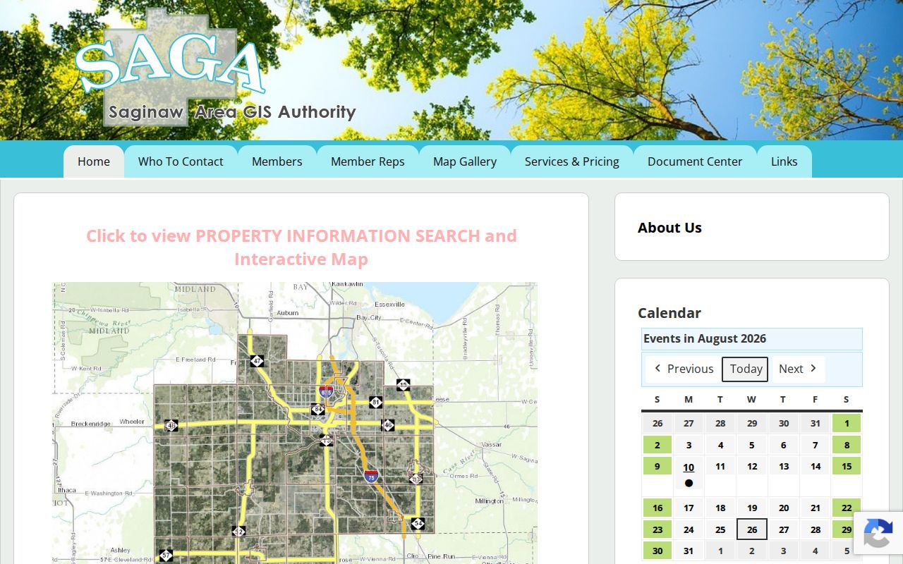
SAGA warns that its parcel boundaries and map are supplied as a reference, not as a legal survey. Use the record detail and the recorded deed when the precise legal interest matters.
The City of Saginaw Assessing page also points readers to BS&A Online and SAGA for property information.
That city route matters because assessment data for the City of Saginaw may be maintained locally, while other parcel and tax layers have county or township sources.
The City BS&A property-search landing page is the other official route named by City Assessing.
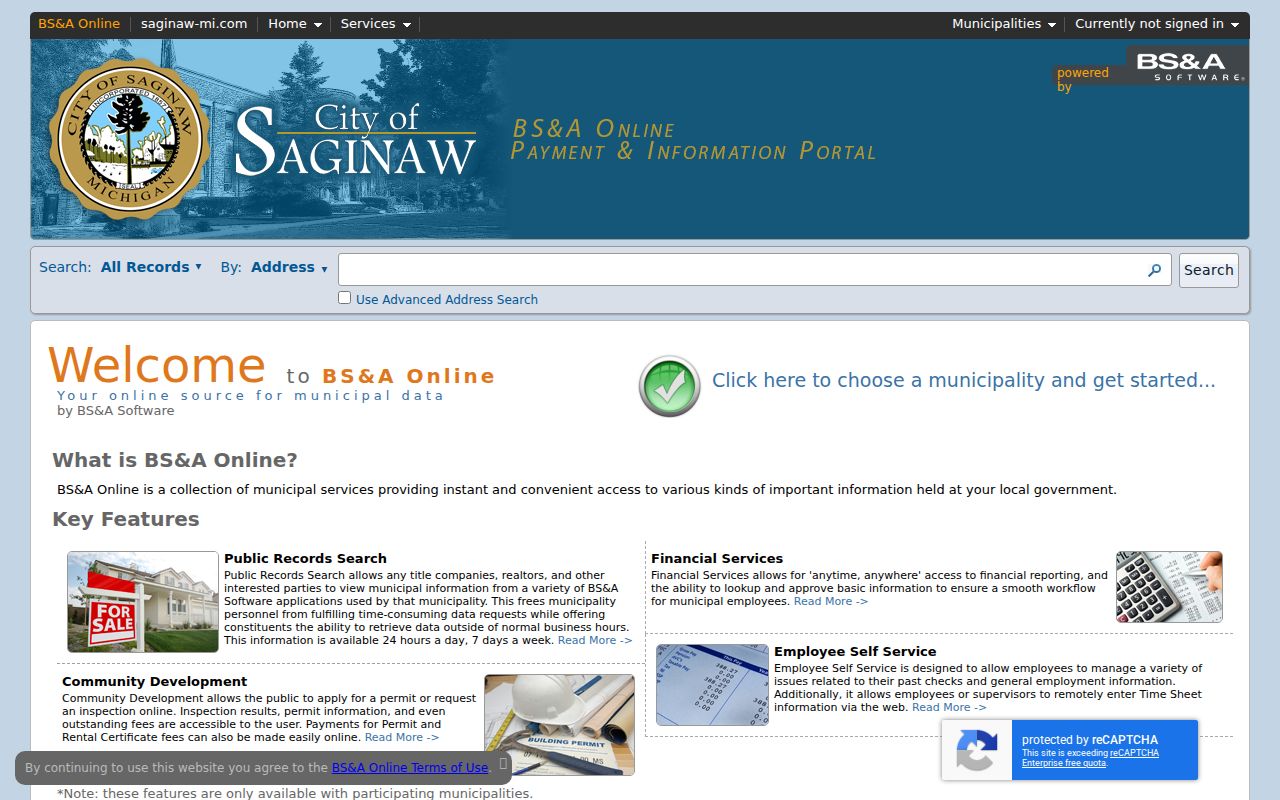
BS&A may hold local property, tax, building, cemetery, or utility material, but its exact searchable fields and coverage were not verified in the research inspection.
Saginaw Address Record Layers
No single source names everyone connected with an address. Instead, address-keyed sources answer narrow questions. FetchGIS relates a current parcel to an owner field and property address. Tapestry supplies recorded-land leads. City maps provide street context. The Michigan voter route has public-record and protected-field limits. Hoyt Library’s directories preserve historic snapshots. The coverage table keeps those roles separate.
| Address record | Custodian or source | What it can support | Access route |
|---|---|---|---|
| Parcel card and map | SAGA / local assessors | PIN, situs address, owner and mailing fields, legal or tax description | FetchGIS online; assessor contact when a field is unclear |
| Recorded instruments and plats | Saginaw County Register of Deeds | Grantor, grantee, recording reference, legal description, and transfer evidence | Tapestry index, instrument review, or Register counter |
| Voter registration data | Michigan Secretary of State / local election administration | Public registration fields when available through the proper route | Michigan Voter Information Center and QVF request process |
| Historic directories and newspapers | Hoyt Library Local History & Genealogy | Dated household, address, and local context leads | Online finding aids, library inquiry, or in-person research |
| Official street maps | City of Saginaw Engineering | Street index, historical area, and map context | City map ordering and staff route |
Michigan’s QVF records may include a public residential or mailing address, birth year, status, and registration date, subject to the request rules. Month and day of birth, phone, email, signature, driver or state identification information, and several application details are withheld. Treat a voter result as a dated registration record rather than an assertion about every person connected to a property.
Saginaw Parcel Address Meanings
Two address labels on the same parcel card can answer different questions. FetchGIS identifies a Property Address for the parcel itself and an Owner Address for where tax or assessment mail is sent. The second field may be a post-office box, business location, substitute address, or address in another city. It should never be rewritten as a statement about where an owner lives.
| Property or situs address | The location of the parcel shown by the map or assessment record. |
|---|---|
| Owner mailing address | The address associated with correspondence in the source, which can differ from the parcel. |
| Directory address | A person’s appearance at an address in one named, dated directory edition. |
| Deed grantee | The party receiving the stated interest on the instrument’s recording date. |
Using the source’s own label makes an address search more reliable. A blank optional parcel-card field is not proof that the fact does not exist elsewhere, and a matching surname is not enough to bridge a deed, map, and historic directory without the legal description or a dated source.
Note: Preserve the property and owner addresses in separate columns when keeping research notes for the same parcel.
Saginaw City and County Numbers
Address numbering has a local jurisdiction line. Saginaw County House Addressing Ordinance 113 begins the unincorporated county system at Sheridan Road and M-46. It places even numbers on the right and odd numbers on the left when leaving that origin, advances numbers by two, and uses 500 intervals per mile. The ordinance was adopted in 1997, amended in 2005, and became effective in 2006.
The rule expressly excludes the City of Saginaw, Frankenmuth, and Zilwaukee. A City of Saginaw address therefore needs the city assessor and city-map path, not an assumption that the county grid governs it. The city’s official maps page lists a street-index map and historical-area, major-street, resurvey, utility, and zoning map options for resolving local context.
The Saginaw County Road Commission addressing standards describe the countywide functional purpose of numbering for principal buildings and delivery or emergency response.
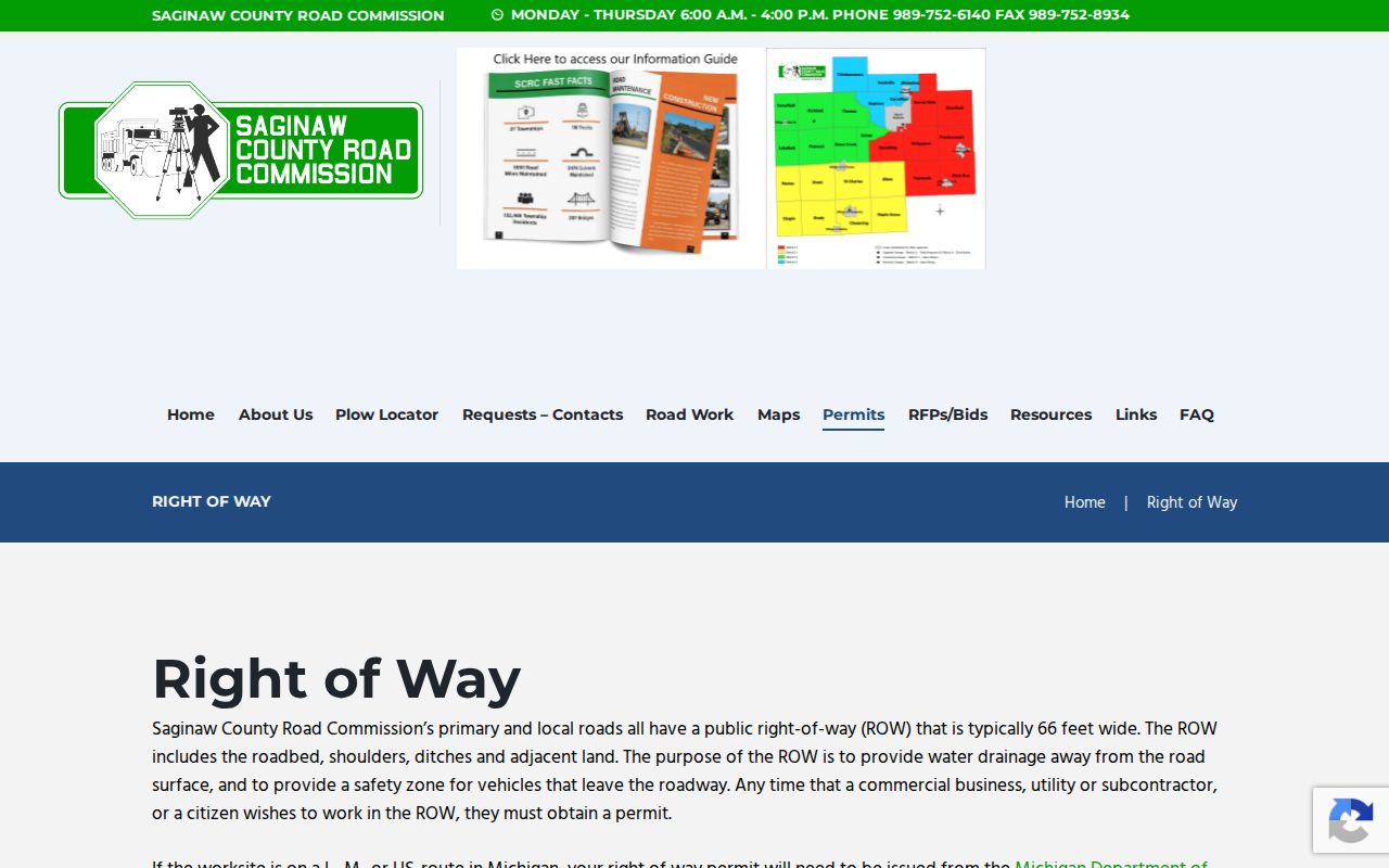
Those standards help interpret qualifying unincorporated addresses, but they do not create a people directory and do not replace the City of Saginaw map process.
Saginaw Deed Trail by Address
After the current parcel is identified, the Saginaw County Register of Deeds is the legal-record route. The office keeps real-property instruments, maintains the index, and holds original subdivision plats. Use the parcel’s legal description and the most current owner name to search Tapestry, then open or request the instrument under the portal’s current rules. The online index is a lead until the instrument is reviewed.
- Parcel
- A mapped unit of property, usually tied to a PIN and a legal or tax description.
- Situs address
- The street location of the parcel, distinct from an owner’s mailing address.
- Plat
- A recorded subdivision map that can connect lots, blocks, and legal descriptions to a street pattern.
- Criss-cross directory
- An address-arranged directory format; a separate verified Saginaw series was not located in the public finding aid.
Tapestry’s accessible inspection did not verify a public online start year, named field labels, image controls, or current payment rules. Do not fill that gap with a guessed cutoff. The Register of Deeds counter at 111 S Michigan Avenue, Saginaw, provides a second access channel, and staff can help with property descriptions or liber and page references.
Saginaw Historic Street Clues
Old Saginaw addresses often need a printed municipality name as well as a modern street name. Hoyt Library’s finding aid says its directory collection covers East Saginaw and Saginaw City before the 1890 consolidation and the City of Saginaw afterward. Search East Saginaw, Saginaw City, Salina, South Saginaw, and Florence when the era calls for it. Keep the printed wording beside the current form instead of silently modernizing a historical entry.
For directory years and access, use the Hoyt Library city-directory finding aid. Its collection narrative identifies many directories from 1866 to 1936, while the library overview describes city directories from 1866 to the present. The catalog also carries 1886–2024 metadata and an 80-volume extent, so the entries should not be flattened into a claim of uninterrupted coverage. The historical volumes themselves are the focus of the Saginaw directory book.
Sanborn sheets and city maps add building and block context. Library of Congress holdings include Saginaw sheets from 1895, 1901, 1935, 1936, and a 1935 to March 1950 volume. A map can show a mill, commercial structure, alley, or multi-story building. It cannot identify every person who was there.
Saginaw Parcel Buffer Work
FetchGIS is more than a simple address pin. Once a parcel is selected, its Buffer Tools can use a parcel, graphic, or selection; set a size and unit; run the buffer; and save a CSV or create labels. The map also offers drawing, measurement, selected-feature information, and Print or Generate PDF. Those tools support a reproducible street-by-street map review when the map date, selected layer, and buffer distance are written down.
Buffer output is geometry, not a legal survey and not a list of occupants. A touching parcel, a corner parcel, and a parcel across a right-of-way describe different relationships. Use each selected parcel’s PIN, situs address, municipality, and visible source fields, then verify boundaries if the question depends on a legal line.
Note: Save the map view with its visible layer and date, because parcel geometry and assessment data can change after the search.
Saginaw Address Privacy Limits
A street directory can document a parcel, a dated directory listing, a recorded interest, or a public registration record. It cannot prove a present household, reconstruct protected fields, or turn a mailing address into a residence claim. Michigan’s Address Confidentiality Program can supply eligible participants with a substitute address and mail forwarding, including for voter registration. An absence or mismatch should be treated as a limit in the source, not a fact to be forced into place.
Lawful use. Use Saginaw address records for personal, lawful research and civic or family-history questions. Do not use them to stalk, harass, intimidate, or harm anyone.
Use an official URL and inspect the original record before contacting anyone or repeating a surprising deed claim. The Michigan Attorney General warns that public property records can be exploited in quitclaim-deed and identity scams, so a concerning instrument belongs with Register of Deeds staff and the document image, not an accusation based on an index line.
Saginaw Address Evidence Log
A short evidence log keeps an address search from becoming a chain of assumptions. Record the normalized street, historical spelling if present, municipality, PIN, legal description, source URL, query date, and the precise result. When a later source disagrees, compare the record date first. A deed, map, directory, and postal label can all describe the same place in different ways and at different times.
| Map result | “The assessor or map record associates this owner name with this parcel or situs address.” |
|---|---|
| Different mailing field | “The owner mailing address differs from the parcel address.” |
| Directory hit | “The person appears at this address in the named directory edition.” |
| No result | “Not located in the inspected source and date range.” |
That language preserves the value of a Saginaw by-address search while making its limits clear. It also creates a clean handoff to the relevant office, library, or archive when a property is older than the searchable material or its legal description has changed.