
Saginaw ZIP Code Directory Working Areas
These Saginaw postal ZIP entries come from the Michigan DTMB boundary reference, USPS sources, and state reference material. The wording is intentionally cautious. A general map can place a postal area near Saginaw, but only USPS can resolve a particular delivery address. The municipal field in SAGA answers a different question: whether the parcel sits in the City of Saginaw, a township, or another government unit. Use both before grouping a record by ZIP code.
| ZIP | Area use supported by the sources | Postal reference | Important caution |
|---|---|---|---|
| 48601 | Central, east, and downtown-area Saginaw postal use | USPS exact-address lookup | Street edge and PO-box status need an address check |
| 48602 | South, central, and west Saginaw postal use | USPS exact-address lookup | Postal-city labels can reach beyond city limits |
| 48603 | North, south, and township-area Saginaw postal use | USPS exact-address lookup | It is not a City of Saginaw polygon |
| 48604 | North and northwest township-area postal use | USPS exact-address lookup | Exact delivery edges require USPS |
| 48605 | Saginaw County reference ZIP | State/county reference material | City-limit street coverage was not located |
| 48606 | Saginaw County reference ZIP | State/county reference material | City-limit street coverage was not located |
| 48607 | Saginaw postal ZIP, often central and PO-box-associated | USPS exact-address lookup | Separate delivery and PO-box results |
| 48608 | State/county reference ZIP | State/county reference material | City status is unconfirmed in the research |
| 48609 | State/county reference ZIP | State/county reference material | City status is unconfirmed in the research |
The sources do not establish a complete city-limit street list for 48605, 48606, 48608, or 48609. That is a real research gap, not a reason to assign an address from its city name alone.
Saginaw ZIP Code Postal Boundaries
A ZIP code is built for mail delivery, while a municipality is a government boundary. Saginaw County has its own geography, and a postal label can span City of Saginaw and nearby township territory. A postal city name also does not establish a parcel's legal municipality. For record work, preserve three separate fields: postal ZIP, municipality, and county. That simple separation keeps a postal result from being overstated as city residency.
The Michigan DTMB ZIP reference map is useful for a broad Saginaw-area view. Its lines are general postal reference material, not a street-by-street legal boundary. The statewide reference tables and USPS lookup should be kept with the date used, since postal service geography can be described differently from a map display.
Check a Saginaw ZIP Code with USPS
The official USPS ZIP Code Lookup is the controlling route for a specific address. Enter the whole address rather than inferring a result from the word Saginaw alone. USPS resolves postal delivery for that address; it does not identify a city limit, owner, or current occupant. Retain the result date and the full address format used, because an old street number or an abbreviated street suffix can change what is returned.
The official USPS ZIP lookup screen is shown below. Use it before a postal code is carried into any property or voter-related record notes.
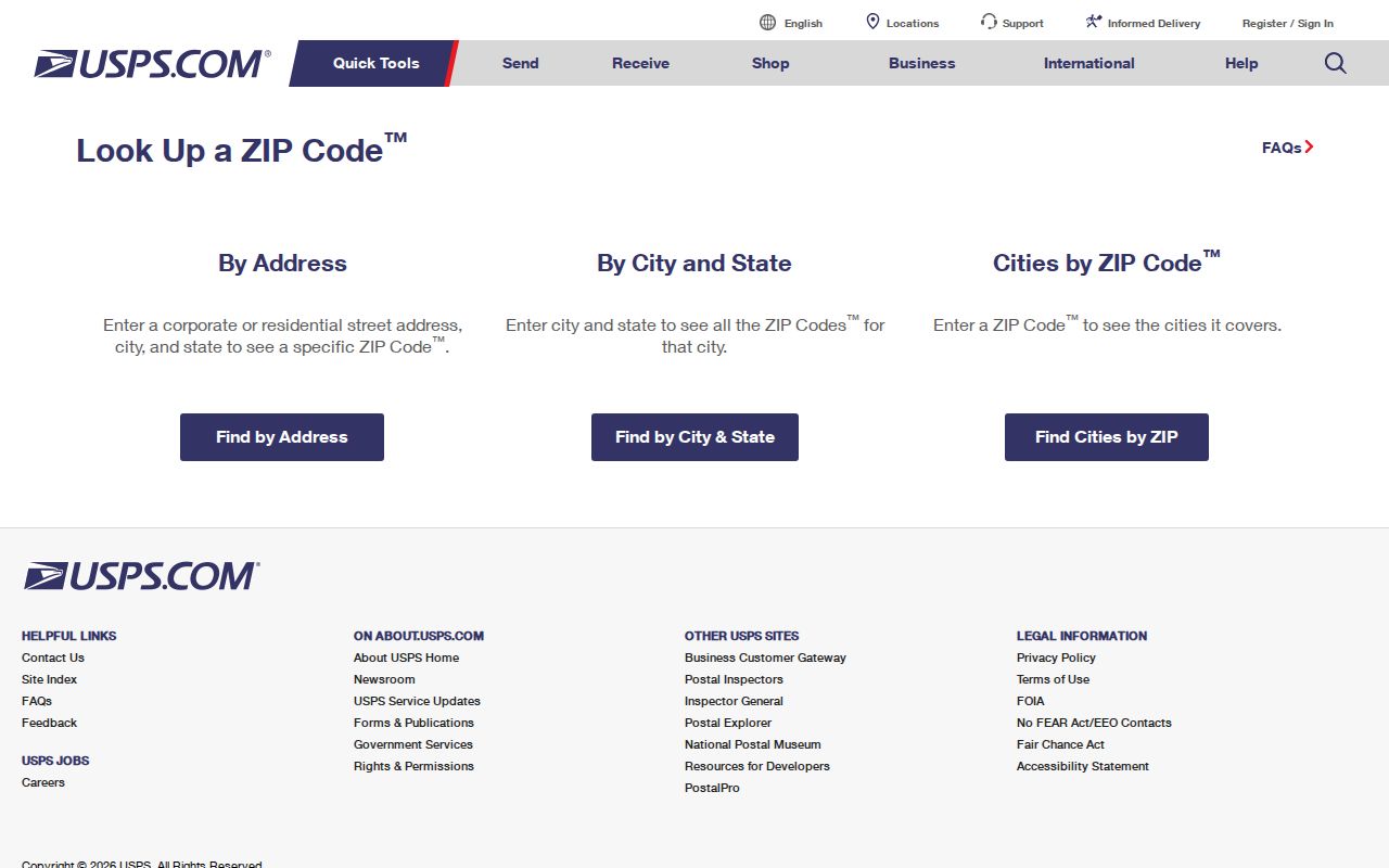
USPS confirms postal handling for a given address. It cannot tell whether that address lies inside the City of Saginaw or in a neighboring township.
The separate USPS Saginaw location detail gives an example of a Saginaw MI 48601-2503 postal location. It is a location record, not evidence that every nearby address uses 48601.
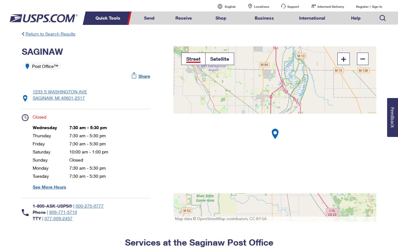
Use the location information as a postal-service reference only, then return to exact-address USPS results for an individual delivery question.
Find Saginaw Records by ZIP Code Carefully
A ZIP can narrow an address question, but the inspected Saginaw parcel tools do not provide a verified ZIP-wide resident filter. FetchGIS supports Parcel ID No, Owner Name, Street Address, and Municipality searches. Its Sales Search also exposes municipality, street name, and address. Use the ZIP as a postal grouping after an address has been normalized, not as a promise that a portal will return everyone associated with a ZIP.
- Start with a complete street address and run the USPS lookup. Record the postal ZIP and the date.
- Search SAGA FetchGIS by Street Address and Municipality. Confirm the parcel's Property Address and municipality separately.
- If a civic registration question remains, use the Michigan voter route or the QVF request process with the permitted geographic scope. The documented request form has county, jurisdiction, district, and ward or precinct choices, not a verified ZIP selector.
- Describe any resulting group as records associated with addresses USPS returns in that ZIP, with a municipality and source-date column.
Once an address is narrowed, the Saginaw street directory has the fuller address-based record trail. A ZIP code alone is too broad to replace that street and parcel work.
Saginaw ZIP Search Field Gap
The field inventory captured during research matters because it identifies what the live portals did not show. FetchGIS has useful address fields, but no ZIP field was visible. The City of Saginaw BS&A landing page advertised property, tax, building, cemetery, utility, and other searches, yet it returned a 403 during text inspection. Its exact fields, coverage, fees, and any ZIP capability remain unverified.
| Search control | What the inspected source supports | ZIP limitation |
|---|---|---|
| USPS exact-address lookup | Resolves the postal ZIP for a specific mailing address | Not a citywide resident or municipal search |
| FetchGIS Street Address | Search by street number and/or name; normalize the suffix when needed | No visible ZIP field was captured |
| FetchGIS Municipality | Dropdown for the known municipality | Municipality is not a postal ZIP |
| FetchGIS Sales Search | Municipality, street name, address, and other sale filters | No verified ZIP search mode |
| City BS&A | Advertised local property categories | Live ZIP fields were inaccessible during research |
Note: No SAGA ZIP filter or live BS&A ZIP-capable screen was verified, so no ZIP-only parcel or assessor result is promised.
Saginaw ZIP Code Directory County Edges
Several ZIP codes appear in Saginaw County reference material but should not be treated as City of Saginaw service areas. The county-area list includes 48614, 48616, 48623, 48626, 48637, 48638, and 48649. It also includes 48415 and 48417 in county geography. These codes can be useful for a county-level address check, but a county list does not make them city ZIPs.
| Reference group | How to handle it |
|---|---|
| 48614, 48616, 48623, 48626, 48637, 48638, 48649 | County-area ZIP references outside or around the city. Resolve a full address with USPS and confirm municipality in SAGA. |
| 48415 and 48417 | Included in Saginaw County reference tables. Do not assume City of Saginaw service from that county association. |
| 48607 | Often associated with central or PO-box postal use in public references; distinguish a box from a delivery address. |
Saginaw ZIP Code Boundaries and City Limits
When a record search needs the City of Saginaw boundary, use the municipality rather than the postal label. SAGA consolidates parcel data, while the City of Saginaw assessor route points searchers to BS&A Online and SAGA. County house-addressing Ordinance 113 has a separate unincorporated-territory numbering system that begins at Sheridan Road and M-46. The ordinance expressly excludes the City of Saginaw, so a county number pattern does not decide a city ZIP or municipal location.
- ZIP and ZIP+4
- A ZIP is the main postal routing code. ZIP+4 adds a delivery segment and does not create a city boundary.
- PO-box ZIP
- A code associated with post-office box service. It can differ from the ZIP for a street-delivery address.
- Unique ZIP
- A postal code used for a single organization or delivery arrangement. No unique Saginaw ZIP was verified in the research.
- Carrier route
- A mail-delivery grouping used by postal operations. It is not a municipality or a complete resident roster.
City, township, postal city, county, and historic place name may all differ on a single record trail. Record each source's label instead of smoothing those differences away.
Saginaw ZIP Code Directory Source Dates
Postal research should remain reproducible. Keep the lookup date, full address format, USPS result, SAGA municipality, and source type together. A visual boundary map, a ZIP Code Tabulation Area, a postal delivery route, a post-office box service, and a county reference table describe different geographic things. When they differ, the difference may reflect the type of source rather than an error.
A nineteenth-century directory, deed, or atlas can use older municipal labels, while the current USPS result reflects modern mail delivery. For Saginaw, the official history records earlier township and city labels before later consolidation. Compare the historical place name to a current municipality and exact postal lookup, then disclose any unresolved match instead of assigning a ZIP retrospectively.
For a repeatable Saginaw ZIP code directory note, record whether the result came from an exact address, the DTMB reference map, a county table, or a historic source. Mark whether the result describes delivery service, a box, or a broad map area. That label makes later review possible when two records use the same postal city but point to different municipalities.
Do not turn a missing ZIP confirmation into a negative finding about a person or parcel. The documented gap is narrower: no city-limit street list was located for several working-table ZIPs, and no ZIP-only SAGA or accessible BS&A search field was verified. USPS and the municipal parcel record remain the appropriate next checks.