
Saginaw Previous Residents by Era
Previous residents research needs a source matched to the period and the question. The property map gives a modern address bridge. The deed chain documents a recorded interest, not every occupant. Hoyt Library’s local material can place a name at an address in a particular edition. Maps describe a building or block. The Archives of Michigan points to older county series when a current portal no longer reaches far enough back. These sources overlap, but none should be made to answer a question it cannot support.
| Source | Years or period shown | Where held | What it can show |
|---|---|---|---|
| FetchGIS parcel record | Current map; cutoff not located | SAGA / local assessor sources | PIN, situs address, mailing field, and legal or tax description |
| Register of Deeds index | Online start year not located | Fidlar Tapestry and Register of Deeds | Recorded transfer leads and legal-description trail |
| Hoyt city directories | 1866–present overview; many 1866–1936 in finding aid | Hoyt Library and digitized items | Dated name, household, address, and local-role entries |
| Sanborn map sheets | 1895, 1901, 1935, 1936, and 1935–1950 volume | Library of Congress and library microform routes | Building footprint, use, street, block, and map-key context |
| Historic county series | Series-specific nineteenth and twentieth century ranges | Archives of Michigan guide | Deed, tax, mortgage, probate, and township context |
Start with the present-day parcel when the address is still in use. Start with a directory or map when the old number is the only fact available. In either case, use the legal description or adjacent streets to bridge between eras before joining names across a change.
Note: The online deed index has no verified public start year, so an older address trail may need a counter, library, or archival follow-up.
Start a Saginaw Previous Residents Trail
For a present-day address, begin in SAGA FetchGIS with Street Address and Municipality, then capture the PIN, property address, owner address, and legal or tax description. The form also accepts owner name and parcel ID. Three careful passes help when an address is uncertain: full number with a normalized street, street name alone with municipality, and owner name with municipality. The PIN and legal description are the useful bridge to a recorded instrument.
Do not confuse the Property Address with the Owner Address. The first identifies the parcel; the second is an assessment or tax mailing field that can be somewhere else. A present parcel card also does not show all people who lived there before. It supplies the place needed to start a backward chain.
The Saginaw County Register of Deeds page identifies the office that holds the property instruments and links to its online search.
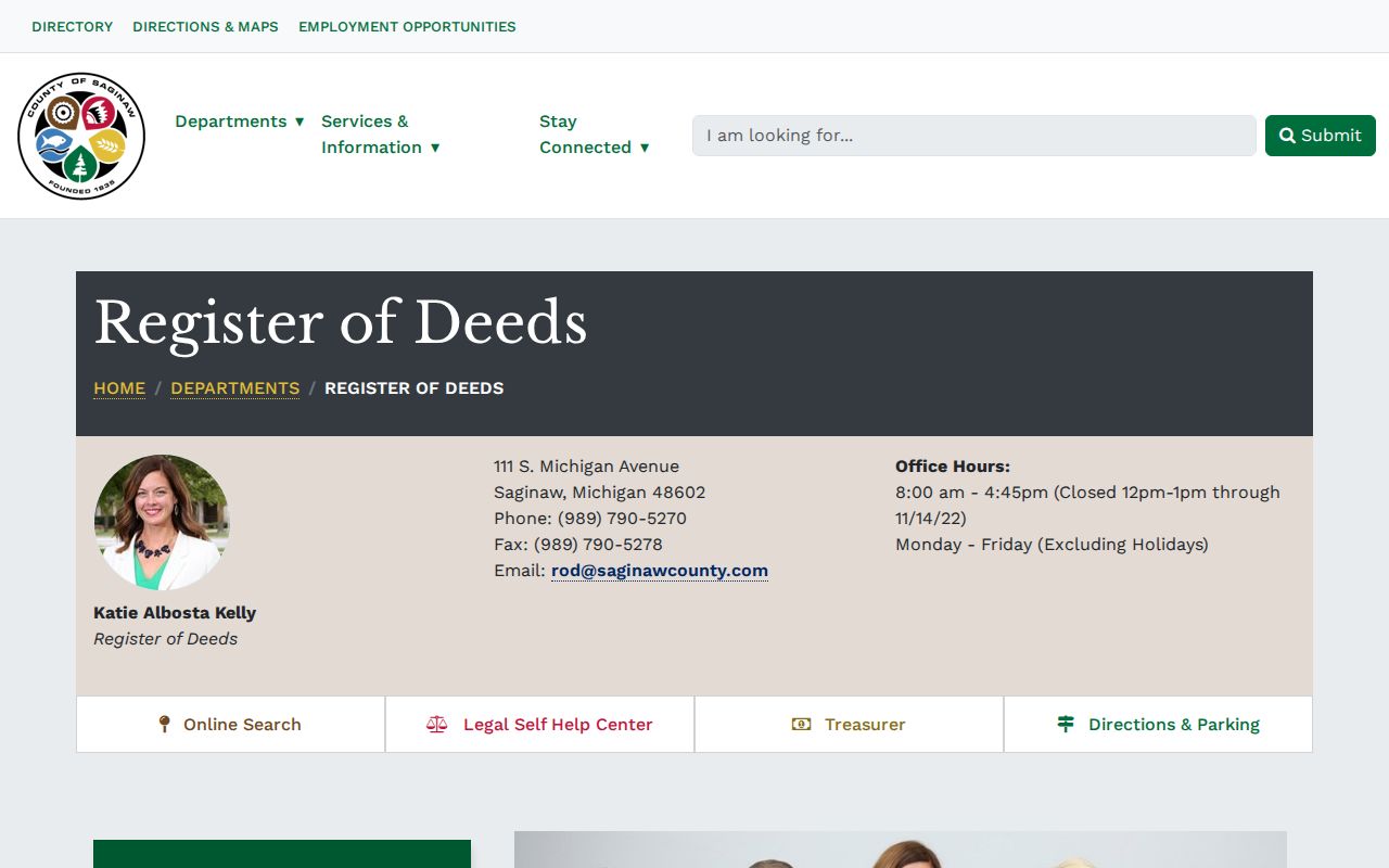
The Register is the source to contact when a portal result needs to be checked against the actual instrument, a subdivision plat, or a liber and page reference.
Saginaw Previous Residents Deed Trail
A deed chain moves backward from a current recorded interest. Search the Fidlar Tapestry land-record search with the current grantee or owner name and the legal description where available. Then read the latest instrument for its grantor, grantee, recording date, document or instrument reference, and legal description. The prior grantor becomes the next grantee search. Each transition needs the same parcel, lot and block, or another documented bridge.
- Use the current FetchGIS result or assessor record to record the PIN, situs address, legal description, and current owner field.
- Find the current transfer in Tapestry by grantee, grantor, or legal-description lead, then inspect the instrument under the current access rules.
- Log the instrument type, recording date, grantor, grantee, reference, and the exact legal description before moving back.
- Search the seller or prior grantor as a grantee to locate the preceding acquisition, then repeat the comparison.
- Stop and mark the break when the legal description changes, a parcel splits or combines, an image is unavailable, or a name is only an OCR guess.
- Grantor
- The party transferring the stated interest on a recorded instrument.
- Grantee
- The party receiving the stated interest; this label does not identify every occupant.
- Chain of title
- A documented sequence of recorded interests linked through instruments and the same legal description.
- Legal description
- The lot, block, subdivision, township, or other land description used to connect records when a street number changes.
The Saginaw deed-index search is the starting interface for the recorded trail.
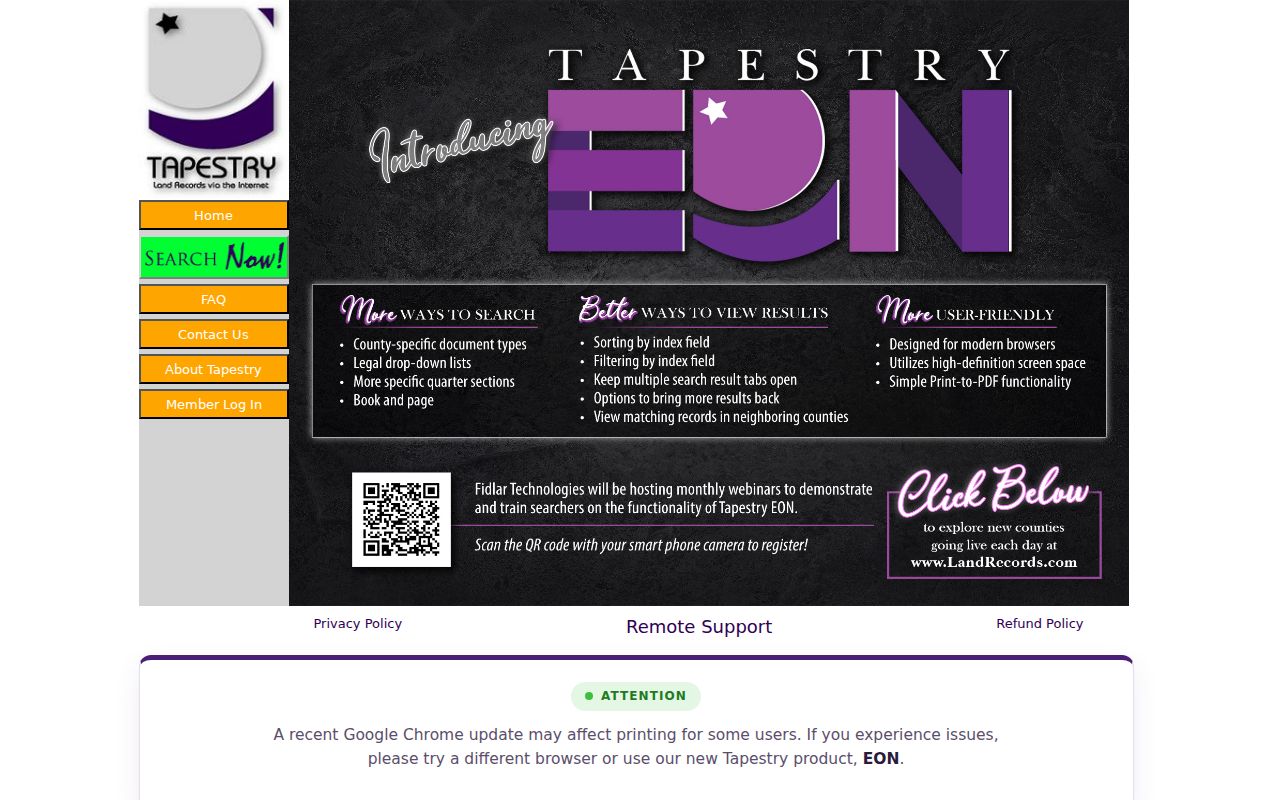
Its accessible inspection did not establish a public online cutoff, named result labels, image controls, or payment rules. Confirm those details during the live search rather than assuming coverage from an empty result.
Saginaw Deed Name Variants
Names in a deed chain require more than one spelling. A transfer may be indexed under initials, a married or prior surname, an estate, a trust, a corporation, or a personal representative. Search both grantor and grantee positions, retain the spelling displayed by the source, and compare the legal description before deciding that two lines concern the same property. A deed can convey an interest without naming every person who occupied the address.
Use the instrument type as evidence, too. A warranty deed, quitclaim deed, trustee deed, personal representative deed, mortgage, discharge, easement, correction instrument, and plat serve different purposes. The recorded document, not a map screen or a matching surname, is the controlling source for the transfer. A surprising quitclaim result should be checked with Register of Deeds staff and the image before it is repeated as a claim.
Saginaw Previous Residents Directory Years
Directories add a household-level snapshot to the recorded-property trail. Hoyt Library lists Saginaw city directories from 1866 to the present on its overview, and its finding aid describes many volumes from 1866 to 1936. Verified Genealogy Room entries include East or South Saginaw years, Saginaw 1890–91 and 1891–92, 1905, and several editions from 1910 through 1919. Those are documented holdings, not proof that every year was printed or survives.
- Identify the earliest and latest deed dates that still match the property’s legal description.
- Choose a directory edition inside each interval and search the historical municipality name printed for that era.
- Read the page image when OCR returns a promising name, address, initial, or street abbreviation.
- Pair the dated directory entry with the relevant census material held by Hoyt when it helps establish household context, keeping the source date beside each result.
- Use an obituary or newspaper lead to test a date window, then return to the primary directory or instrument for the address evidence.
The Saginaw City Directories finding aid is the access point for locating editions and physical or digital availability. Its historical collections are explored in more depth in the Saginaw directory book. A separate verified reverse-directory series was not located, so an alphabetical volume should not be called address-arranged without inspecting its structure.
Note: A directory entry is a dated appearance, not a complete census of everyone who occupied a building in that year.
Saginaw Previous Residents Map Context
Maps can explain why a directory and a modern parcel seem to disagree. The Library of Congress has Saginaw Sanborn sheets from 1895, 1901, 1935, 1936, and a 1935 to March 1950 volume. Use the sheet key, year, and page to compare building footprint, block use, alley, rail, or street setting. A labeled mill, institution, or multi-story structure supplies context for the address. It does not identify people who were inside.
Historic place names need the same care. The directory finding aid distinguishes East Saginaw and Saginaw City before the 1890 consolidation, then City of Saginaw afterward. Salina, South Saginaw, and Florence can also appear in older records. Search the printed place name first, then compare it with the present municipality, current map, cross street, and legal description. This geography step is often the difference between an address match and a false continuity.
The official Saginaw history chronology supplies the city-history setting behind those changing municipal labels.
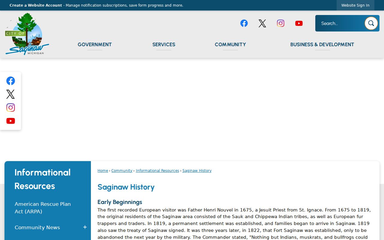
The chronology supports the place-name crosswalk, while the deed, directory page, parcel record, or map sheet supplies evidence for a specific address.
Saginaw Archive Checks
When the recorded online trail stops, the Archives of Michigan Saginaw County guide is the next record map. It identifies Register of Deeds records from 1823–35, tax assessments from 1844–75, delinquent sales from 1843–70, and Kochville land or chattel mortgages from 1857–97. These are series-level dates, not evidence that every record is digitized or indexed by street. Township names, lot and block information, and the old municipality should be part of the request.
Hoyt Library is a practical local bridge for the same problem. Its Local History & Genealogy collection has more than 20,000 books, microforms, and periodicals, along with diaries, scrapbooks, business ledgers, photographs, newspapers, city directories, and Saginaw vital material. Researchers can inquire in person, by phone, email, or writing, and the library recommends an in-person visit for deeper work. The Hoyt local-history collection is an access route, not a single searchable address database.
The library’s obituary index reports more than 250,000 notices from The Saginaw News. An index hit can suggest dates, relatives, or community context, but the newspaper image or library copy is needed for the exact wording. It can close a time window without proving every address in a person’s life.
Saginaw Previous Residents Trail Limits
Previous residents records have a basic limit: ownership, occupancy, and mailing are not interchangeable. A deed shows a recorded interest. A parcel card can show a current owner field and mailing field. A directory places a person at an address in one edition. An obituary places someone in a community context. None alone supplies a complete lifetime address trail or establishes that everyone in a household appears in every source.
Lawful use. Use Saginaw previous-resident records for house history, family history, estate questions, or personal research. Do not use them to stalk, harass, intimidate, or harm a living person.
Michigan’s Address Confidentiality Program can give eligible participants a substitute address and mail forwarding. A missing residence or mismatched public address may reflect a protected record or an ordinary source limit. Respect that boundary and do not attempt to reconstruct protected information from surrounding records.
Saginaw Previous Residents Trail Gaps
Mark the last confirmed owner or address appearance separately from the first unconfirmed lead. Common stopping points are a changed legal description, parcel split or combination, unreadable scan, missing image, an unverified OCR name, or the Tapestry period that cannot be confirmed online. Use a plat, tax assessment, directory street index, city map, or archival series to find the bridge. Do not manufacture continuity from matching surnames alone.
| Confirmed | Instrument or page image, date, legal description, and source reference agree. |
|---|---|
| Probable | Several dated clues point in one direction, but a controlling record is still missing. |
| Unresolved | A number, name, parcel, or municipality change prevents a documented connection. |
That approach keeps a Saginaw address-history search useful even when the available records do not form a continuous line. It also makes the next request precise: give the custodian the parcel, date span, municipality, legal description, and the record type that remains unverified.