
Finding Saginaw Neighbors Around a Parcel
A block search begins by defining what counts as a neighbor. A touching parcel, a parcel across the street, a selected radius, and a civic-neighborhood label are different relationships. Saginaw's public sources can document parcel geometry and dated historic context, but they do not create a household roster. The Saginaw Area GIS Authority map is the best first step for the physical block. It combines assessor and Equalization data, while the source warns that its parcel boundaries and maps are not a legal survey or official record.
| Block source | What it can show | Access and limit |
|---|---|---|
| SAGA FetchGIS parcel map | Selected parcels, map layers, property details, and buffer geometry | Public reference map; online cutoff was not located; not a legal survey |
| Hoyt directory finding aid and scans | Dated name and address context in available editions | Finding aid, physical holdings, and verified 1883 or 1912 scans; not a current household list |
| Library of Congress Sanborn sheets | Building footprints, block use, streets, and map keys | Historical map context only, not occupant identity |
| City neighborhood associations | Public civic geography, meetings, and contact route | City page and map; no member or household roster |
| Michigan voter record request | Public registration fields within the requested jurisdiction | Protected fields remain withheld; not needed to establish parcel adjacency |
A parcel owner is not automatically an occupant. The SAGA card distinguishes Property Address from Owner Address, and the latter can be an off-site mailing address, a post-office box, a business address, or another substitute address. A vacant lot, a multi-unit address, a trust, or a corporate grantee adds more uncertainty. Describe only what the source actually labels, such as a parcel association or mailing field.
Note: Record whether a result means touching parcels, a chosen buffer, across-street context, or a civic neighborhood before comparing Saginaw neighbors.
FetchGIS for Saginaw Neighbor Searches
SAGA FetchGIS supports Parcel ID No, Owner Name, Street Address, and Municipality in its Parcel Search, with each field optional. Start with the street number and normalized street name, then use the municipality when known. If that pass fails, try the street name alone or an owner-name variant with the municipality. Save the selected parcel's PIN before clearing or changing filters. The map also exposes search results and recently viewed panels, which makes a repeatable block review easier than a series of unrelated searches.
FetchGIS distinguishes a parcel's Property Address from its Owner Address. The first identifies the mapped site. The second is an owner mailing field and should not be restated as a present residence. SAGA says ownership and parcel-address or sales data generally come from County Equalization, except that City of Saginaw and Saginaw Township use local assessors. Other assessment fields can also come from local offices, so source and municipality matter when two records differ.
- PIN
- The parcel identifier. It provides a repeatable way to return to the selected map feature.
- Property or situs address
- The address for the mapped parcel or site, which is different from an owner's mailing field.
- Municipality
- The map's selected local jurisdiction. It should not be assumed from a postal city label.
Saginaw Neighbor Buffer Geometry
FetchGIS Buffer Tools make the geographic part of a neighbor search reproducible. After selecting the target, choose Parcel, Graphic, or Selection buffer, set the size and units, and run the tool. The map can then Save CSV or Create Labels, while drawing, measurement, and Print or Generate PDF tools preserve the visible setup. The resulting circle or area is a map aid. It does not turn every parcel inside it into an adjacent property, and it does not identify a resident.
Use a compact chain of evidence: address → selected parcel → PIN and municipality → chosen buffer or touching boundary → visible surrounding parcels → map date and layer. For a true boundary question, clear the selection and click each touching parcel. For an across-street question, state that relationship separately. Keep the original map view so a later reader can see whether the feature touched, shared a corner, or only appeared inside a radius.
Note: CSV and label tools can document selected map features, but SAGA's published warning means the output cannot replace a legal survey.
Mapping a Saginaw Block
Parcel-by-parcel work should remain narrow and repeatable. Select the target address in FetchGIS, record the map date and layer, then review only the relationship needed for the question. The map can support a block map, but an ownership field still does not establish who is there. A named street needs a broader address-record workflow than the immediate block. That fuller approach belongs in the Saginaw street directory, where the address trail is handled street by street.
- Search the target street address, confirm the municipality, and save the target parcel's PIN and legal or tax description if displayed.
- Clear the map selection, then click each parcel that actually touches the target boundary. Record the direction or relationship, such as north, west, corner-touching, or across street.
- For each selected feature, retain only the parcel ID, property address, municipality, source, map date, and the map's own labeled owner or mailing field when it is necessary to the research question.
- Use a buffer only when a radius is the intended relationship. State the buffer size and units instead of calling every feature in it adjacent.
- Stop when the map or field is unclear, and verify a boundary with the appropriate official source rather than filling the gap from a name match.
Corner parcels, right-of-way gaps, and multi-unit sites are common reasons to preserve the map relationship instead of reducing a block to a simple list of names.
Saginaw Neighbor Map Labels
Saginaw's neighborhood associations page supplies a civic geography that is different from parcel geometry. Its meetings are public and the page includes contact, calendar, cleanup, and grant links, but it does not publish member directories or household rosters. A neighborhood name is therefore a useful way to find a public meeting or city contact, not a way to infer association membership from an address.
The city page, contact sheet, and map do not always use identical labels. Research noted Wickes Park and Southeast Wickes Park, as well as St Stephen's and St Stephen's/Carman Park. Butman-Fish, Coulter, and West Side Civic also appear in the contact-sheet or map material. Keep the label used by the source and explain an alias when it affects the search. Do not turn a label difference into a boundary claim.
The source for this image is the City of Saginaw official maps page.
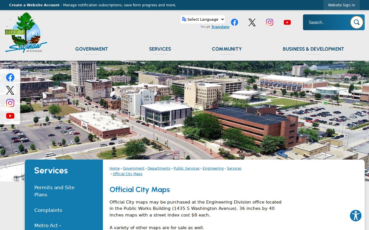
City map material can orient a block and its street names, while the parcel map supplies the specific feature relationship for a Saginaw neighbors search.
Saginaw Neighbor Civic Contacts
Public civic routes offer a safer way to learn about a Saginaw neighborhood than trying to build a household list. The city association page identifies groups including Adams Boulevard Area, Cathedral District, Covenant, Fairground, Heritage Square, Houghton-Jones, Northeast, Northmoor, Northwest, Old Town District, Wickes Park, Southwest, St Stephen's/Carman Park, and Unity in Community. The research captured schedule details that can change, so the city page should be checked before relying on a meeting date or venue.
| Public Saginaw contact route | What the city source provides | Boundary on use |
|---|---|---|
| Neighborhood Associations | Public meetings, city updates, calendars, cleanup, grant, and contact links | Use the current city page; it is not a membership roster |
| NAAG | Bi-monthly public meetings and city-service updates | Confirm the current meeting information with the city source |
| Neighborhood map and contact sheet | Public label and contact-route context, including aliases | Do not treat labeled areas as legal parcel boundaries |
| Community Police | NW, SW, NE, and SE quadrants under Same Cop/Same Neighborhood | Public civic connection, not a resident list |
The City of Saginaw Community Police page describes the quadrant program and public officer contacts.
The public program is a neighborhood connection point. It does not confirm a person's address, association membership, or relationship to a particular parcel.
Note: The research did not locate a neighborhood legal-boundary GIS layer or a membership and household directory for Saginaw associations.
Historic Saginaw Neighbors by Block
Historic sources answer a different question: what was on or around the block in a specific period. Hoyt's collection includes city directories, newspapers, atlases, plat books, photographs, and ledgers. The Library of Congress has Saginaw Sanborn sets for 1895, 1901, 1935, 1936, and a 1935 to March 1950 volume. Sanborn sheets can show building footprints, streets, use, alleys, rail context, and changes in a structure. They do not name current occupants and should not be used to infer one from a building label.
Pair the printed directory municipality with the map date. East Saginaw, Saginaw City, Salina, South Saginaw, and Florence may appear in older material before the modern City of Saginaw label. A property can have a stable legal description while a street number or municipal label changes. The useful result is a dated block context, with the map sheet, year, and page recorded beside the directory edition.
Comparing Saginaw Neighbor Sources
Official sources and commercial neighbor-search categories answer different questions. A map, directory, or public record should be read with its date, keeper, and stated field labels. Commercial listings can be stale, merge people with the same name, or treat a mailing address as a residence. The reliable path is the original county or state source, a dated result, and the document or collection that supports the claim. A conflict is a reason to preserve uncertainty, not a reason to choose the most detailed listing.
| Source type | Useful evidence | What it cannot establish alone |
|---|---|---|
| Official parcel map | Mapped parcel, property address, selected feature, and labeled owner or mailing field | Occupancy, legal boundary certainty, or a complete household |
| Historic directory or map | Dated address and community or building context | Present-day status or every person at an address |
| Civic neighborhood source | Public contact route, map label, and meeting context | Membership, household identity, or parcel ownership |
| Commercial neighbor-search category | A possible lead to verify at the originating source | Accuracy, currency, identity, or a lawful reason to pursue private details |
For a surprising deed, property-report, or urgent payment demand, use the county records office or the original government source. Michigan consumer alerts warn that third parties can charge for records available from custodians and that fraud can involve public-record claims.
Saginaw Neighbor Lookup Limits
Michigan's Address Confidentiality Program can supply a designated substitute address to eligible participants. A public voter, property, or court result may therefore show a substitute address, omit a residence, or contain a redaction. Treat that as a safety measure. Do not try to reconstruct an underlying address through relatives, deeds, map buffers, or other records. Protected voter information also includes items such as driver-license or state-ID numbers, month and day of birth, phone, email, signature, and application details.
Public record use should stay limited to a lawful personal purpose. Michigan's stalking law addresses repeated or continuing harassment that causes the required fear or distress, and a neighbor search must never become monitoring, confrontation, or harassment. Keep the least detail needed, redact working screenshots, record source and date instead of copying a full export, and stop when the source is protected or uncertain.
Lawful use. Use Saginaw neighbor sources for civic awareness, family history, or an address question. Do not use map, directory, or public-record results to stalk, harass, intimidate, or harm anyone.